Each point on the plan is defined by its coordinates, which can be either polar (bearing and distance) or Cartesian (perpendicular distances to Cartesian axes: X and Y or N and E).
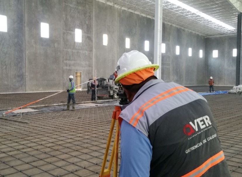
At QVER, we have the necessary topographic instruments to measure angles and distances, allowing us to determine the coordinates of the points in space that we wish to represent on the plan.

The methods for planimetric surveying are triangulation, traverse or itinerary, radiation, and intersection. The intersection methods include direct, lateral, inverse (Pothenot or resection), and Hansen.
Thanks to planimetry, at QVER we can create scaled representations of all the interesting details of the terrain in question on a flat surface, except for its relief, which is represented in a horizontal projection.


